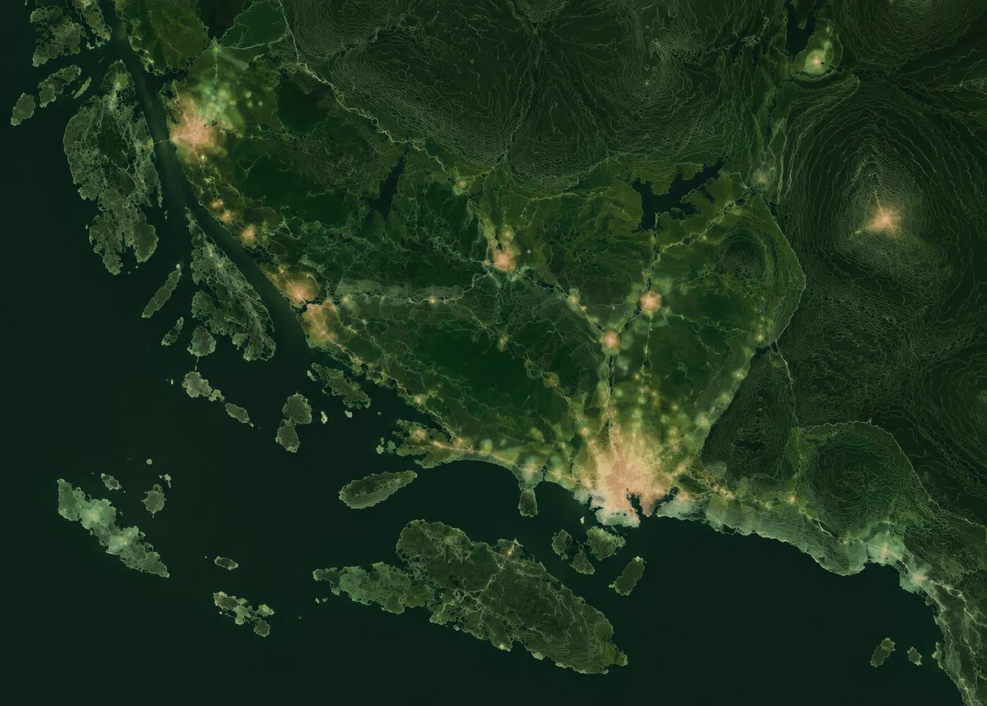
GIS
From field data to finished map
From field data to finished map: structure, analysis and cartography that make bird data usable in assessments and decisions.
Why it matters
Bird data becomes useful only once it is structured
Field observations have limited value unless they can be compiled, reviewed and shown spatially. I build the data structure already at collection, quality assure the material and analyse it in GIS – so the results can be interpreted, reused and defended.
Delivery can be finished maps for a report, analysis results, or data in formats your own organisation can continue working with. The combination of field knowledge and GIS means the maps answer the right questions.
Analysis
- GIS analysis
- Spatial analysis
- Density maps
- Hotspot analysis
- Buffer analysis
Map production
- Habitat maps
- Observation maps
- Flight path maps
- Cartography for reports
Data
- Bird data in GIS
- Data management and structure
- Quality assurance
- Delivery in formats you can work with
01
Collection
Structure, attributes and positioning already in the field.
02
Processing
Quality assurance, compilation and analysis.
03
Delivery
Maps, analysis results and data in your chosen format.
Do you need a GIS resource with bird expertise?
I can join existing projects for analysis and map production, or take responsibility for the whole chain from field to delivery.